Schoolcraft State Recreation Area
—Deer River, MN—

After we celebrated the 4th of July at my in-laws, we headed north to continue our geocache adventure. It is actually really nice when we start out so much closer to the parks than driving from home (they are about 100 miles north). Our game plan: to drive a loop and end up in Bemidji, MN for my nephew's birthday party while visiting three parks on the way. As usual it was slightly ambitious but doable.

We got to our first state park right around noon – the drive was perfect – two hours so Marcus was able to get his nap in and was ready to get out and visit the park.
Henry Schoolcraft was an early explorer who discovered where the headwaters of the Mississippi river were located. This park is named after him, and it is right on the Mississippi River (but not near Lake Itasca, the true headwaters). The Mississippi River at this point is really just a winding stream and not the mighty river it becomes. According to the plaque this is one of the places that Schoolcraft and his guide camped over night during their expedition.

 This is a small park (one of the smallest in the state) and it was not actually manned by a ranger – it is instead managed by the folks at Scenic State Park – which we had pegged to visit later in the day. When we arrived we were welcomed by just a kiosk with some pictures and maps.
Schoolcraft State Park feels pretty remote – there is not a lot around, but it is very pretty and very quiet.


 |
| Luke Searching for Location # 1 |
 |
| Location # 1 |
 |
| Luke and Marcus entering the next set of coordinates. |

It wasn't far down the trail until we found the second a last location—when you do enough of these the hiding spots really seem to jump out at you!


Can you see the ammo box hidden in this tree stump?


We grabbed the cards and left quickly. This is truly an example of "cache-and-dash" – in and out of the park in less than 20 minutes!!

We did take a few minutes to enjoy the views, however.


 |
| Must have been one busy woodpecker! |
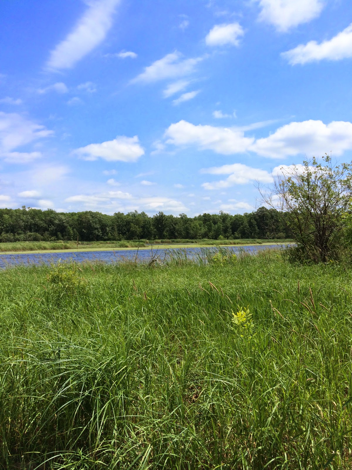 |
| One last view of the river. |
 |
| A veery pretty bird. |

No comments:
Post a Comment