Great River Bluffs State Park
(formerly O. L. Kipp State Park)
—Winona, MN—

 We continued our path down the Mississippi River Valley, and quickly arrived at the last park in the river valley. This park is located on the top of the bluffs overlooking the river. The topography is varied and extremely pretty. The park used to be called O. L. Kipp State Park (after Orin Lansing Kipp who worked for the Highway Department in the area from 1916–1955), but it was renamed in the '90s to give people a better idea of what the park has to offer.
"Great River Bluffs State Park is located in the Blufflands Landscape Region. This landscape features half-dome bluffs with sheer rock cliffs, steep valley walls, and rolling uplands. The park includes a diversity of plant communities including maple-basswood forests, old hickory, pines, goat prairies, and old fields."
—Minnesota DNR website
 |
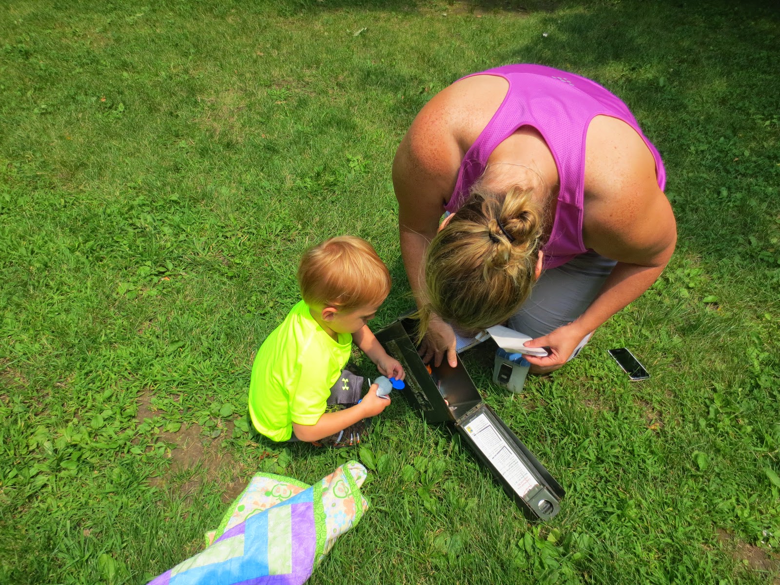
| Lots of kiosk signs here with tons of wildlife, historical, and geological information. Where did his hat go?? |
When we got to the park we quickly found the first stage, and it was located at an unmanned outdoor kiosk. Since Marcus was still sleeping, Luke jumped out and found the next set of coordinates. There was a really nice display that talked about the bluffs and the nature in the area.
The next coordinates were about 1 mile down the road so we headed off. The road was curvy and slow, but the view was amazing. You can see the bluff land and the river in the distance. These pictures really do not give it justice.
 |
| Endless rolling hills going off to the horizon. |


We drove up the road and found a place to park. From the car the next (and final) location was only about 250 feet. Marcus woke up, so he got to help us find the next spot.

Although he was awake he was still pretty groggy! (Always very cute.) It is hard when you wake up and have not any idea where you are at!
 |
| Who doesn't geocache with a blankie...? Kind of looks like the photographer used a wide-angle lens here. Not sure what that was all about. |
We looked across the park and saw a sign – at first we assumed that we would just be finding the next set of coordinates on the back side of the sign, and we would be hiking to another spot, but were were wrong, and another hollowed out tree trunk waited for us.


 |
| This tree truck was a bit more obvious with the cut through the middle. Pretty sweet way to hide the ammo box. |


All in all this geocache took us less than 10 minutes. Marcus was happy to get his "bock bock" card.
 |
| Doing the splits. Quite the good balancer. |

Since this geocache was so quick, we decided to find out what this park was actually all about (a shame not to). This is the description from the DNR website:
"This is beautiful bluff country! The park contains two Scientific and Natural Areas (SNAs), King's and Queen's Bluff. The King's Bluff trail offers a breathtaking view of the Mississippi River Valley. Bring your binoculars; the river valley is a major flyway for waterfowl, eagles, and hawks..." —Minnesota DNR website
The geocache did not even go down a trail – much less actually get to either of the bluffs, so we set off down the trail. It was breath-taking... and a bit scary with Marcus, so you will see that I held him (tightly) the entire time.
 |
| Mommy and Marcus on the trail. |
 |
| View of the Mississippi River from high up on the trail. |
 |
| At the overlook. |


This was worth the hike. We went to the Queen's Bluff – they split off at a trail head in opposite directions from each other, the King's and Queen's Bluffs, that is. I think this took about 30 minutes, and then we were back on the road again.

No comments:
Post a Comment