Split Rock Creek State Park
(not to be confused with Split Rock Lighthouse State Park!!)
—Jasper, MN—

Since this trip is pretty long, we had decided in advance that we were going to camp, and we had selected Blue Mounds State Park as our campground because it had really great reviews. This ended up meaning we had a strange plan for the day. After we went to the grocery store for camping food at Glen's Food Center in Luverne, MN, we went to Blue Mounds State Park and setup camp. This was right about mid-afternoon, so we decided that we needed to knock out one more state park this day with the time we had, and since Split Rock Creek State Park was really close (only 25 miles away), we headed over there (past many, many wind turbines!).
This park makes it on the list of a parks that I have never heard of or seen any reviews on, and it was really pretty. When you drive up, you are driving through corn and soybean fields and the only other thing you can see is more wind turbines. Suddenly, we could see a dam and lake in the distance.

This beautiful sight at Split Rock Creek State Park (with vibrant colors) welcomes you to the state park. This reservoir was created in 1938 as part of the Works Progress Administration (WPA) during the Great Depression. I keep getting blown away by the amazing things that were created during this period. It almost makes me wonder what the landscape would have looked like without the Great Depression creating the WPA and all of the amazing works. It also makes me hope we continue to maintain them in the future.


 Once we finished looking at the dam, we found the entrance and the Ranger Station. As usual, Luke ran in and grabbed a map while Marcus and I waited in the car.
 The first set of coordinates was listed on the board outside the Ranger Station. It was directing us to our first GPS stop.
We drove towards the next location. The lake is clearly the focal point of this park, and it was pretty amazing. This is also the largest lake in Pipestone County. One of the interesting things about this park of the state is the lack of lakes. Some counties have only one lake... weird when you think of the rest of the state.


We drove on the road between a prairie hill and the lake. The GPS coordinates appeared to be pointing right towards the pump house... we just had to find a trail to get there.
 |
| Old Pump House on the top of the hill. |
 |
| Marcus and dad going up the hill. |
 |
| Looking up the hill. Lake off to the left. |
It wasn't long, and we got to the pump house.
 |
| Ye olde pump house. |


 |
| Marcus checking out the manhole cover. |
So we finally decided to take a peak inside the building and found that it was unlocked.

We walked into the second room and saw a piece of paper on the seat... It was our next clue... and it was actually a clue... not just a set of coordinates. This park ranger was really fun—he put something in a building (first time we saw that) and required us to learn something in the process rather than just following the GPS coordinates (more of the state park geocaches should be this way!).


If you ever have a chance to look at one of the state park maps, you can see it is not just a map. On one side is where the map sits, but on the other side you get a chance to read about the geography, history, and other facts about the state park. Fortunately, we had our map from the Ranger Station and were able to figure out that the answer was B – Sioux Quartzite! So we entered the coordinates and continued our hike through the prairie.

The prairie was in full bloom, and the flowers were pretty amazing.

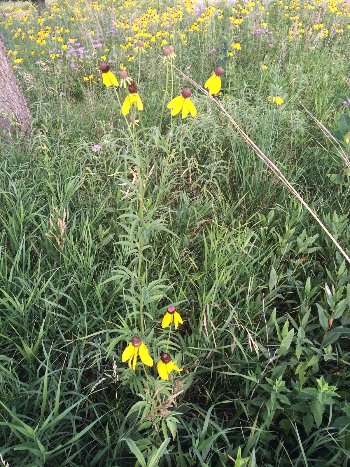


I think this is one of the prettiest hikes we have taken all year.

Eventually, we got closer to the lake, and the scenery changed a bit. We were also close to next location.


It didn't take long for Luke to find it under the bridge. Marcus was pretty excited as usual when he saw the box come out.


At this point, to speed things up a bit, I headed back to get the car while Luke and Marcus checked out the dam and fishing pier... I LOVED this hike!
   |
| See the log- czechcashteam was here already... They have to be getting close to done! The upland sandpiper is only here for the summer. They spend their winters in Argentina and Brazil. |

 |
| Brown-eyed susans everywhere. |
Here are some pics from my boys at the dock! Marcus really liked the canoe that went by.


This park was really great... and it made us wish that we had actually camped here rather than Blue Mounds State Park (whose lake/reservoir was emptied when the dam broke earlier this summer from all the rain). I would like to go back and explore a bit more!
 |
| View from the trail. |
No comments:
Post a Comment