Blue Mounds State Park
—Luverne, MN—

I have heard about Blue Mounds State Park for a long time, mainly because it is the only state park in Minnesota that has a heard of buffalo (like you see on the sign). This, however, was the first time I have been there – a few times we have almost made it on trips to the Black Hills in South Dakota, but we have always been running out of time. I had really high expectations for this park because of how much I have heard. Of all of the parks we have visited, here you can see the impact the most of the rainy June. Blue Mounds State Park was actually closed for almost a month and has been plagued by problems this year.
In May, before Memorial Day, they discovered that the ground water that feeds the wells was contaminated with E. coli bacteria – meaning that the water was not safe to use for drinking or washing. This had a really negative impact on the normally-full campground. After attempting to remove it, they determined that the entire water source was contaminated... this will have a long term impact on the park. They must now either build a rural waterline from town (very expensive) or dig new wells (but this runs the danger that the new wells may also be contaminated).

On June 14th, torrential rains fell resulting in the severe flooding of the Mound River, and, eventually, the earthen wing on one side of the dam washed out. Quickly the entire 200-acre basin of the man-made lake emptied out. Completely changing the look and feel of the park. The large lake that was one of the centerpieces of the park was gone (an especially important attraction in a largely lake-free part of the state). They are still deciding what to do next. As a result, the park was actually closed for over a month after the flood while they cleaned it up and figured out what to do next. This slowed down our Avian Adventure geocaching progress as we needed this state park to finish off the program.
 This brings us to now—we were finally going to the park, and we decided that we were going to camp here as well. We had just visited Split Rock Creek, and although Blue Mounds had some advantages, it was kind of sad in comparison. We actually stopped by the Blue Mounds State Park campground to set up our tent before going to Split Rock Creek State Park. When we initially arrived, Luke ran in and checked-in with park ranger. Since we were just driving, we we had not reserved a campsite, but that was just fine because it was only about 25% full we were told over the phone before leaving. We took some time and drove around the campground to find our ideal site, and once we did that, we drove back to the Ranger Station and reserved it and then set up camp.


After returning from Split Rock Creek State Park, it was time to get serious about the Blue Mounds geocache. It was already after 6 pm, and we still needed to make dinner – which can take a bit longer over the campfire. We drove in and followed the coordinates to our first location. It was up the mound to where the lake had previously been. We found a board that, similar to Split Rock Creek State Park, had a quiz with different answers. It also said that we would stay dry in finding it (probably more obvious when there was actually water in the lake to indicate the boundaries). We looked at the answers, and I guessed (incorrectly) that it was the location up by the dam. We left to try to find it.


I will admit that the mistake was all mine, but we were all glad that I made it; otherwise, we may have not actually seen the remains of the lake. Since I never saw the park before, I don't actually know what we were missing, but there were clearly artifacts of a beach and swimming area.
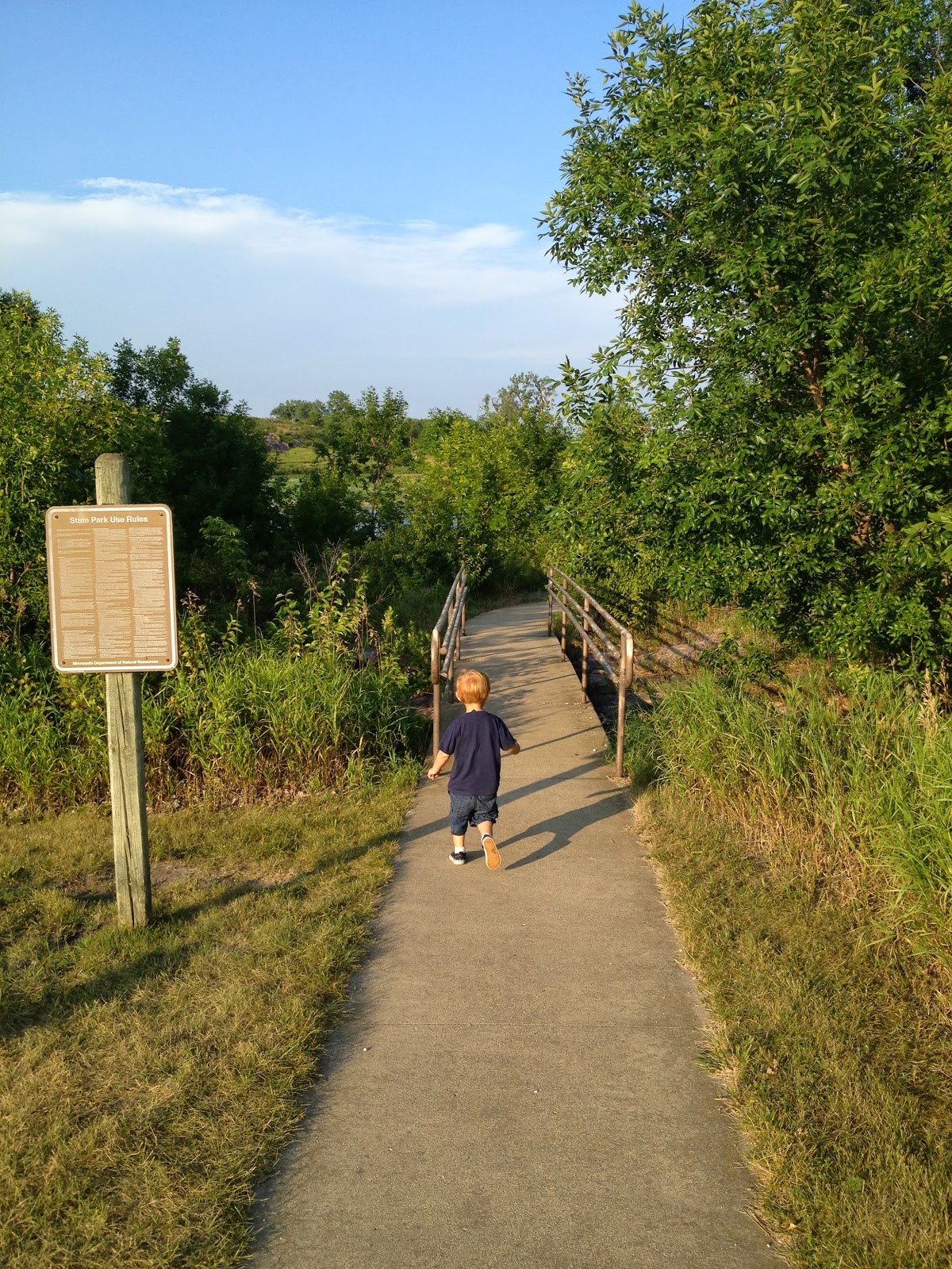
 |
| Marcus heading down the hiking trail by the beach. |
Here are some pictures of the beach and the changing house. You can see how far the what remains of the lake is from the beach.


 |
| The beach house and changing area. |
 |
| View from the changing house. Can you see the rock cliffs in the background? |
 |
| Marcus playing in the remains of the lake bed. |


After we left the beach we headed down the trail towards the dam.


We kept hiking until two things occurred:
1. We were getting really close to our coordinates, and
2. The trail ended because of the flooding.


 |
| The concrete section of the dam is still intact – the earthen wing on the right side is where the water drained out. |

 |
| A better picture of the area. |
Luke walked out onto the dry lake bed and took some closer pictures of the scene.


 |
| This would have been a fantastic geocache hiding spot... but not this time. |
 |
| Marcus and I in the back while Luke stands in the dry lake bed. |

 |
| Marcus wasn't sure what to think here. |
We figured out pretty quickly that the spot I had identified with the GPS was wrong... it would have been in the lake, so we entered the new correct coordinates and hiked back to the car. We jumped in and drove a ways father down the park to the group/primitive/teepee (yes, I really said, "teepee") camping area.

We jumped out of the car and got started hiking down a path.

We turned a corner and Marcus saw the teepee (another first). He was so excited and started running to it.

At this point he was done geocaching and just wanted to run around the teepee.

So one of the cool things that a person can do in Minnesota is rent a tee pee to camp in overnight. I think there are 3–4 state parks that have them, but I think you also have to make reservations pretty far in advance. There was someone staying in the set up tee pee already.

Despite the fact that Marcus was done, we still had a geocache to find; fortunately, we were pretty close. I found a small trail by the tee pee site that led me right to the final cache.


The view from here was awesome.


We got our cards and headed back to the campsite for the night. The Blue Grosbeak is the card for this state park – it is also the bird the earlier clue was about... the question would have been a lot easier with this card!


This is now the second time we have camped this summer with Marcus. The first time we have cooked out while camping. I have to say it went a TON better—I wish I could say it was because we did everything better, but it probably had more to do with that fact that the last time we camped it was the longest day of the year and he wanted to party all night long (the Lake Bronson campsite was really full and everyone there stayed up late talking which didn't help either). This time the sun set much earlier and rose much later giving us a much better night of sleep.


 |
| The usual camping food: hot dogs, beans... apple pie. |
 |
| I love my boys! |
The one thing that I had not discussed was the bison (species name: Bison bison... easy to remember!) at Blue Mounds State Park. The buffalo herd at Blue Mounds State Park survived all of the parks turmoil this year with no problems whatsoever. The buffalo at Blue Mounds are there to represent history, although they are not true roaming buffalo since they are kept in a fenced-in area. Rumor has is that the Native Americans used the cliff (the Mound) as a way to "harvest" the bison. Today there are over 100 bison in the park, and they live a pretty blissful life. They are pretty far away from the car, so we didn't get any great pictures of them from the fence by the road.
Here is a last view of the tee pee site.

No comments:
Post a Comment