Friday, August 29, 2014

Hanging with Tori

Hanging with Tori

This summer we were lucky enough to have a visitor for a few days: my niece Tori decided to stay with us, and we spent a few just just hanging out, watching movies, and doing a few projects around the house.  The first one we did we was a pretty big one: we finally painted a race track on the backside of the train table.  This way Marcus has something to play cars with as he gets older.  Tori designed it on cardboard and then sketched it out on the board.  Finally, we painted it together.  I think it turned out really well.  This is a project that I have wanted to do since the train table was completed, but I needed a little bit of help on it.


Tori sketching it out...

End of day one.

This is what the finished product looked like—Pretty AWESOME!  Let's be honest: it makes me want to play!


Doesn't it make you want to play with cars?....

Tori wearing Great Grandma Johnson's apron.
We also spent some time baking.  We decided to make a summery fruit tart.  We actually made 4 of them (one for Marcus's daycare, one for our neighbors at National Night Out, one for G&G Zachman, and one for her family).  We got really good at it by the fourth tart.  We started by making a homemade lemon curd to go in the tart:
 Homemade Lemon Curd
Ingredients:

1/4 cup fresh lemon juice (usually requires 1-2 lemons)
2 teaspoons finely grated lemon zest
1/3 cup sugar
4 egg yolks
3 Tablespoons butter (I use unsalted)
Directions:
Combine all ingredients in the top of a doubleboiler (or in a metal bowl over a pot of simmering water).  Heat, while stirring (almost) constantly with a whisk, until mixture thickens.  It is done when it’s thick enough to coat the back of a spoon.  Remove from heat, cover, and refrigerate until cool.  Store in the refrigerator up to 2 weeks.

Recipe Link

Once the lemon curd was completed and started to cool, we started on the tart itself.

Summer Fruit Tart

This tart includes a sweet, cookie-like crust, creamy lemon filing and can be topped with any assortment of fruit you like.
Yield: Yields 8 servings

ingredients

Cookie Crust
1-1/2 cups flour
1/4 cup brown sugar
2/3 cup butter, softened
1 egg
Lemon Filling
1/2 cup lemon curd (storebought or homemade)
1 package (8-oz.) cream cheese
Fresh fruit of your choosing (2–3 cups)

directions

Crust
Prepare the crust by mixing all the ingredients until a dough forms (using a mixer or food processor).
Press dough as evenly as possible into an ungreased 10" tart pan.
Place tart pan (with dough) in the freezer about 10 minutes.  Remove from freezer, place on a baking sheet, and bake in a pre-heated 400°F oven for 10−12 minutes, or until light brown.  Allow to cool.
Filling
Beat the cream cheese with an electric mixer until smooth. Add lemon curd, and continue beating until fully incorporated and smooth.  Spread over cooled cookie crust, and refrigerate 1 hour (loosely covered) until filling is slightly firm.
Arrange fresh berries or assorted summer fruits over lemon filling.
If desired, brush fruit with warmed red currant, or apple jelly, for a shiny appearance.
Serve immediately, or refrigerate until ready to serve (up to 4 hours).
Recipe Source: Final recipe by Glorious Treats, based on a recipe by Betty Crocker.


This was a really fun day, and I am glad that Tori was around to help.  I just hope she had as much fun as I did.


One more thing: we did head to a park and play with Marcus, too.  Tori liked the big swing!


Prairie Grassland Biome (at Camden State Park)

Prairie Grassland Biome

Camden Sate Park

—Lynd, MN—

After we finished the Camden State Park Avian Geocache, we were ready to knockout the Prairie Grassland Biome.  Earlier, while Luke was searching for the second stage of the regular state park multicache (see the previous blog), I was getting a head start working on the biome geocache clues in the car.

Here is the clue sheet at Camden.
My scratch work.

I spread all of the cards out on the dash of the car and got all the required details – the only thing missing at that point was that I did not have the Camden State Park card, so I had to double check my work when we got it to see if it changed anything (it actually did... two answers were affected).


Once we had the answers and had the digits figured out, we headed off to the new coordinates – and what we thought was going to be the final location for the biome.  It was a one-mile drive across the park.


Once we found the parking lot, I grabbed the GPS and started searching.  I was looking for the final cache—since this was a puzzle cache, we thought it would only have one stop (similar to the Tallgrass Aspen Parkland Biome up at Lake Bronson).  But the coordinates didn't bring us to a place where a box could easily be hidden.  Instead, they brought us to a sign in the middle of some grass.


Hmmm...


I spent some time looking at the sign and finally looked up... sneaky ranger.  They had another stage.


The new coordinates brought us across the river (again) into the group camp.  It was kind of awkward because it was in use and people looked at our car slightly strangely... we clearly were not part of the family camping here.


Luke parked the car, and we decided it was his turn to get out an explore.  Similar to the last hike, there were two pararllel paths: one next to the river and one a bit farther in.  And just like my start on the last hike, Luke picked the wrong one to go with.  He didn't go very far because it was obviously not headed in the right direction after a little ways.  Luke turned around and headed for the other river trail... hmmm... guess we should have read the clue on the last coordinate card (it said "river").

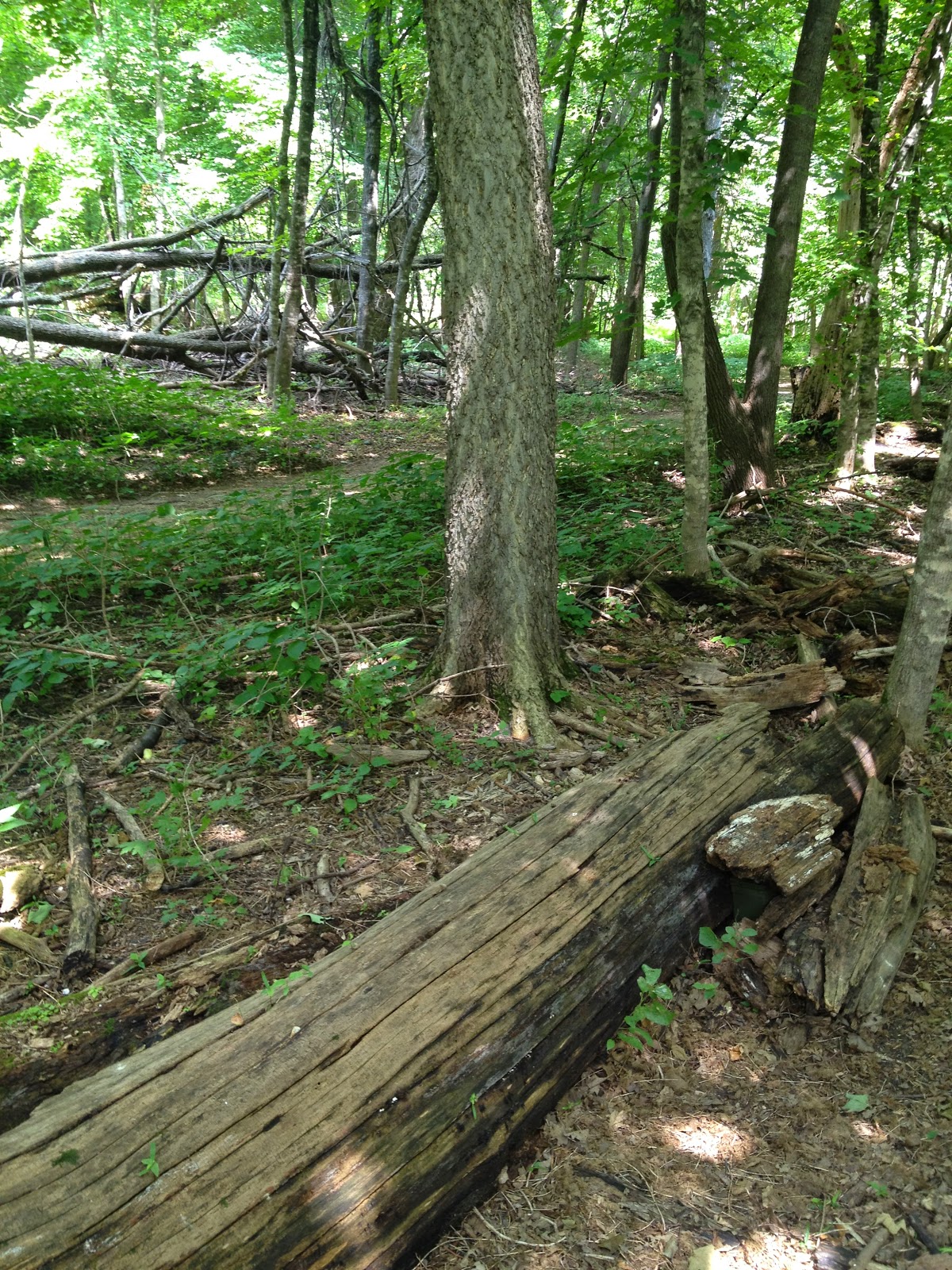
  Once Luke was on the right path, it did not take him long to find the final location.  It was tucked in next to a fallen log.


The Bobolink was our second biome card!  So excited!


We left the park and were headed to our other event of this weekend, Giant Days in LeSueur, for some corn on the cob (yum, yum, yum).

The drive was pretty, and it was pretty much like traveling through Little House on the Prairie by Laura Ingalls Wilder.  We drove through all of the towns from the book: Walnut Grove and Sleepy Eye (funny enough, we even hit Burr Oak a few weeks ago in Iowa).  The sky was great and the drive was nice, except for a small rain storm.  Here are some views from the drive.


Small town Minnesota.

Lots of sky in this part of the state!


Monday, August 25, 2014

Camden State Park

Camden State Park

—Lynd, MN—


The highlight of the morning was reaching Camden State Park.  This is the location of the LAST avian geocache in the Prairie Boime AND the location of the Prairie Biome Geocache, as well.  Camden State Park is located right off of Highway 23, which interestingly runs diagonally across the entire state from the very southwest corner all the way up to Duluth.  That's a road trip through different biomes!

Camden State Park is in the Redwood River Valley, so-called because of the dogwoods lining the river which have red-colored bark.  This is how the Minnesota DNR describes the geology: "Camden lies in an area of southwestern Minnesota called Coteau des Prairies, which means highland of the prairie. It is a high plateau that rises 900 feet, at its summit. During the last Ice Age, glaciers covered the shale and sandstone bedrock of this area with layers of mixed rock, gravel, sand clay, which together are known as till. Where the glaciers ended their advance or held steady, the till piled up into long, high ridges called moraines. Camden lies atop the Altamont moraine, the second highest and most eastern moraine in the Coteau. Not all of the topography in this park is a direct result of glacial activity. The Redwood River Valley was formed after the glaciers had receded to the north. Water draining and flowing off the land cut into the till and carved out the Redwood River Valley."

When we drove into Camden it just felt like we drove into a river valley.  It is right off of a busy road, and you just turn directly into the entrance, so it really sneaks up on a person when driving there.

During the drive over from Lake Shetek, Marcus fell asleep, so this means that one of us would not get a chance to experience this geocache and would be sitting with Marcus while he napped.  When we got to the main office, Luke got out of the car, grabbed a map, and went into the ranger office.  From the outside, I thought it was pretty cute.


We left the ranger station and drove through the park.  Since the park follows a river valley, it is long and not very wide.  There are many little streams, and it even has a railroad track running through it.  It was about two miles to the first location.  One of the interesting things is that the starting point for the Avian Geocache was the same as the coordinates for the biome.  Once we found the parking lot (and the sign where it was listed the biome puzzle clues), Luke took a picture of the biome questions – this gave me something to do while he ran off to geocache.


Closer view of the building by the swimming pond.


Luke entered the coordinates for the next stop and headed out.  I sat in the car and worked on the biome geocache puzzle.  From the car I had a really nice view of the park – you can see the building right next to the swimming area.

Vonnie and Marcus in the car.
                                                                                    The next set of coordinates brought Luke to a small bridge overlooking the Redwood River.  It was really quaint and cute.  I think it was the one of the prettiest little bridges we have seen.  It reminded me of something described in a book I have read like Anne of Green Gables, something like the perfect little swimming hole.  Luke searched around for the geocache.  The coordinates brought him right near the base of the bridge, but it also brought him near our old "friend" Poison Ivy.  In fact, a long vine of it was covering the open end of a bridge beam where the pill container, holding the next GPS coordinates, was hidden.  He used some sticks to push the vine out of the way and remove the container to get a good look at the coordinates.  A very dicey move there!


The view of the lake from the bridge.  It looks very tranquil and picturesque.
Here is the other side of the lake.

Like I said, the second set of coordinates was tucked away in the beam under the bridge.


Using the stick to move the vine.
Poison ivy blocking the way.


Can you see the coordinates inside the pill bottle?


With this poison ivy sighting Luke decided to turn around and come back to exchange places with me.  So he stayed in the car, and I ran off to find the next location.

I crossed over the bridge, found an empty shelter, and searched for it.  The coordinates brought me right to a corner on the southwest side of the shelter.


I looked up, I looked down, I looked inside... and I couldn't find anything.  I probably spent 10 minutes walking around in circles like a crazy person.  There were some guys cooking out on the other side of the shelter, and they occasionally looked at me wondering what was going on.


The coordinates brought me right here...
The shelter wall.

On the positive, I noticed that there was a road right next to the shelter as well that went around the footbridge to the parking lot where the car was parked with Luke and Marcus.  So this meant I could run back and get help by following the road and not the bridge route.  So I hightailed it back to the car for reinforcements... well... Marcus was still sleeping, but Luke could definitely help.  We drove over to the site and started to search.  
                     At that point we also started visiting with the guys at the shelter, and they were pretty interesting.  They were up from Missouri and driving around the Midwest doing crop dusting using GPS coordinates to do their job.  Also funny, Luke found out that they were at NordicFest in Decorah, Iowa, the prior weekend (just like we were), but they left right before the concert started on Saturday night that we were at.  They were a lot of fun to visit with, and they really got into helping us search for the next location (they had never heard of geocaching before).  Eventually, I found the next geocache.  Probably about 50 feet from where it was supposed to be, but at least we got it.  These coordinates were also tucked inside of a pill container.
Location #3


I entered the next coordinates and ran off to find the trail while Luke stayed with Marcus.  Just looking in the direction of my GPS heading made it hard to tell which side of the Redwood River I needed to be on, so I started down one way until I discovered I had to turn around and follow the bridge so I could be on the other side.  Right on the far side of the river, I found a small trail leading towards my destination.


The trail was pretty and ran along the river.  I enjoyed this hike a lot.


Eventually, I found a small trail that was right near the final location. 


The cache was tucked in this old tree.  It did not photograph really well.  It was actually quite pretty.


I wish I had better pictures of the hills behind the river.


The log book.


I quickly made it back to the shelter where I had left the car and my guys.  We now had all 16 of the prairie biome cards, and we could complete one more biome challange (making this biome #2 we would have completed – it would have been three biomes completed without the recent Nerstrand miss... "NERSTRAND!").  The great news was that the biome challenge finishes right at Camden, so we did not have far to go (we planned our southwest Minnesota trip this weekend this way)!


Search This Blog