Maplewood State Park
— Pelican Rapids, MN —


As a result of how long the Tall Grass Aspen Parkland Biome geocache took we did not actually hit the road for Maplewood State Park until after 1 pm – then we had a long ride ahead of us: 171 miles. Fortunately, Marcus was passed out for the majority of the ride, and even I managed to sneak in a hour nap while Luke drove. We finally got to park at 4 pm, and because we still planned on two more stops, we knew we had to be fast. We made a goal of leaving the park in less than one hour – not a lot of time to see a state park, but hopefully enough time to find our geocache.

When we drove in we could quickly tell that the first location was not at the rangers station, and Luke jumped out, grabbed a map, and we were on our way. We followed the road until we were close to the first set of coordinates – it was right at the trail head for the Woodland Nature Trail.


When we entered in the next set of coordinates we could tell that we were going to be heading down the trail—this is always fun. This nature trail was really great with many signs that were posted to tell about the trees and vegetation in the area. It is a great way to hike and learn at the same time. Here are some examples of the signs:


Sometimes they even use these signs to hide the next set of geocache coordinates.
And right away we hit another example of this.
 |
| What's this on the back?! GPS coordinates! I bet you never would have known they were there. |
 |
| A seemingly innocent-looking map on a post... or is it? |
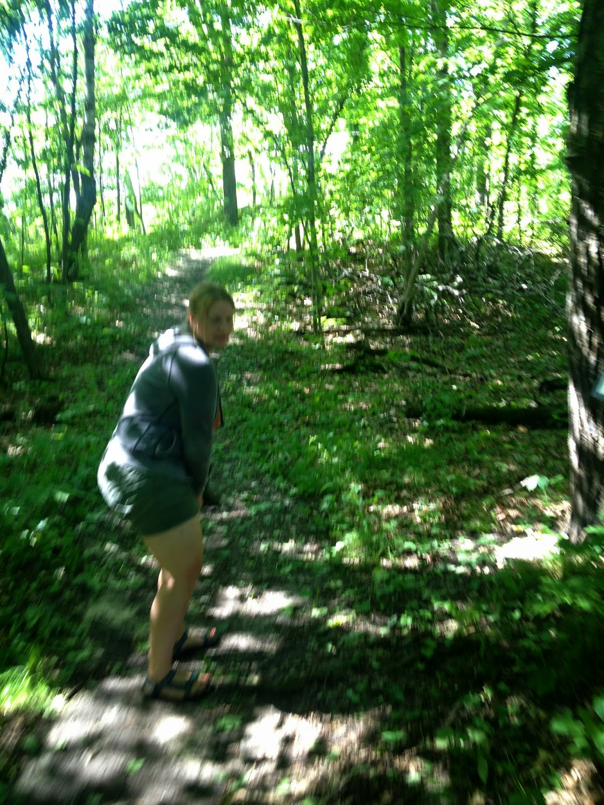
Since this park has significant poison ivy, Marcus had to be carried by either Luke or I the entire time. We don't want to risk our little guy getting into that nasty stuff. We could have brought the stroller, but a lot of times that just slows us down – especially when we are on small trails in the woods.
 |
| Very shady woods and lots of big hills close together. |


After we found the third location, it was not very far to the fourth, but we had to turn and start to hike downhill. The pictures do not show much, but there was actually a small running stream right down the center of the trail, with lots of mud on the sides. Very mucky. It was a blast hiking down this... One funny thing is that since it was a stream it actually had minnows swimming down it... in the middle of the trail! I was carrying Marcus and it was actually safer for me to just walk through the stream than to deal with the mud and muck, but I was pretty nervous I was going to end up with a fish in my sandal!


Marcus quickly pulled the "bock bock" card from the ammo box.
 |
| The flycatcher doing what he does... catch flies. |
 |
| They always seem to compare the bird size to a sparrow or a crow. Not this time. I suppose most people know what a robin is, too. |
After we grabbed the card and signed the log, Marcus and I hightailed it out of there – we were both getting eaten alive by the mosquitoes. Luke stayed behind to hide the cache again and look at a bit more nature (he is a lot braver (and tougher) than us).
The forest was very beautiful, and it was a wonderful day for a hike.

We did make a few pit stops on the side of the road to get a few more pictures on the way out. This is a park we will be visiting again to see more of it.


Oh—did I mention we made our goal and were in and out of the park in 52 minutes!
No comments:
Post a Comment